Track to Powhead Plantation
Introduction
The photograph on this page of Track to Powhead Plantation by Bob Jenkins as part of the Geograph project.
The Geograph project started in 2005 with the aim of publishing, organising and preserving representative images for every square kilometre of Great Britain, Ireland and the Isle of Man.

There are currently over 7.5m images from over 14,400 individuals and you can help contribute to the project by visiting https://www.geograph.org.uk
Track to Powhead Plantation
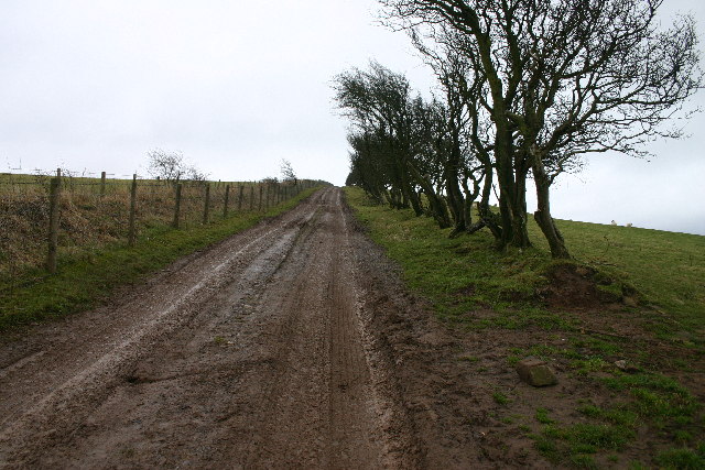
Image: © Bob Jenkins Taken: 27 Jan 2006
The ancient hedge and dyke to the right is replaced by modern wire on the left.
Images are licensed for reuse under creativecommons.org/licenses/by-sa/2.0
Image Location
Latitude
54.75384
Longitude
-3.165289