Spring Lane Farm and spring
Introduction
The photograph on this page of Spring Lane Farm and spring by Alan Murray-Rust as part of the Geograph project.
The Geograph project started in 2005 with the aim of publishing, organising and preserving representative images for every square kilometre of Great Britain, Ireland and the Isle of Man.

There are currently over 7.5m images from over 14,400 individuals and you can help contribute to the project by visiting https://www.geograph.org.uk
Spring Lane Farm and spring
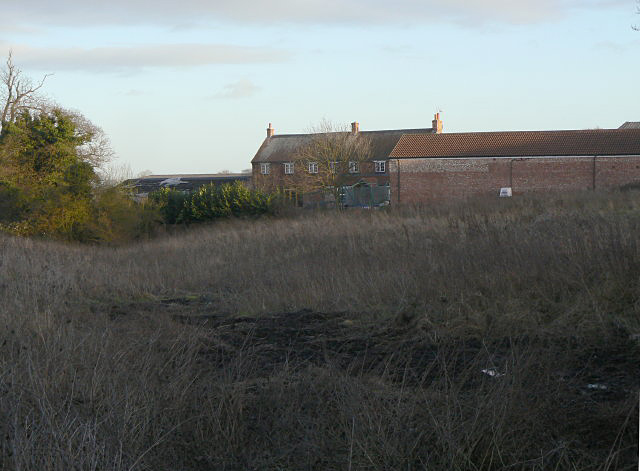
Image: © Alan Murray-Rust Taken: 18 Jan 2009
The depression in the foreground is the head of the stream which forms Lambley (Top) Dumble, and is probably where Spring Lane gets its name.
Images are licensed for reuse under creativecommons.org/licenses/by-sa/2.0
Image Location
Latitude
52.99811
Longitude
-1.100601