The steep section of Wye Street
Introduction
The photograph on this page of The steep section of Wye Street by Pauline E as part of the Geograph project.
The Geograph project started in 2005 with the aim of publishing, organising and preserving representative images for every square kilometre of Great Britain, Ireland and the Isle of Man.

There are currently over 7.5m images from over 14,400 individuals and you can help contribute to the project by visiting https://www.geograph.org.uk
The steep section of Wye Street
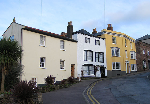
Image: © Pauline E Taken: 19 Jan 2009
Taken from beside the Blake Memorial Gardens. Wye Street was previously named Dock Street (the steepest part being Dock Pitch) and was originally the only way into the town from the west.
Images are licensed for reuse under creativecommons.org/licenses/by-sa/2.0
Image Location


Leaflet Map data © OpenStreetMap
Latitude
51.915044
Longitude
-2.586733