2009 : North west from Shepherd's Lane
Introduction
The photograph on this page of 2009 : North west from Shepherd's Lane by Maurice Pullin as part of the Geograph project.
The Geograph project started in 2005 with the aim of publishing, organising and preserving representative images for every square kilometre of Great Britain, Ireland and the Isle of Man.

There are currently over 7.5m images from over 14,400 individuals and you can help contribute to the project by visiting https://www.geograph.org.uk
2009 : North west from Shepherd's Lane
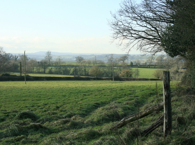
Image: © Maurice Pullin Taken: 13 Jan 2009
Mostly pasture land and woods in this area. Cereal crops are grown to the east around Cley Hill. We are looking across Frome toward Buckland Dinham.
Images are licensed for reuse under creativecommons.org/licenses/by-sa/2.0
Image Location
Latitude
51.200073
Longitude
-2.290635