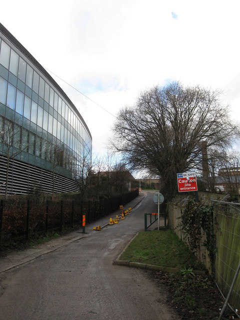
The Droveway
Introduction
The photograph on this page of The Droveway by Simon Carey as part of the Geograph project.
The Geograph project started in 2005 with the aim of publishing, organising and preserving representative images for every square kilometre of Great Britain, Ireland and the Isle of Man.
There are currently over 7.5m images from over 14,400 individuals and you can help contribute to the project by visiting https://www.geograph.org.uk

Image: © Simon Carey Taken: 18 Jan 2009
An ancient east-west route that ran along the Downs through small villages such as Preston and West Blatchington. The built up part of the road begins opposite The Drove on Dyke Road Avenue before crossing Hove Park and heading back up the hill here past the offices of Legal & General to the left and the British Engineerium to the right. It carries on as Nevill Road and Court Farm Road before heading through Hangleton and Portslade.

