Multiple path junction in Parsonage Farm field
Introduction
The photograph on this page of Multiple path junction in Parsonage Farm field by David Anstiss as part of the Geograph project.
The Geograph project started in 2005 with the aim of publishing, organising and preserving representative images for every square kilometre of Great Britain, Ireland and the Isle of Man.

There are currently over 7.5m images from over 14,400 individuals and you can help contribute to the project by visiting https://www.geograph.org.uk
Multiple path junction in Parsonage Farm field
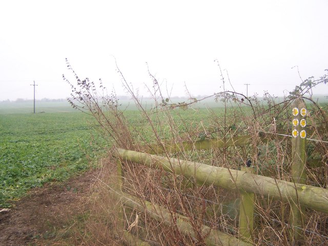
Image: © David Anstiss Taken: 16 Jan 2009
Path from The Street, Bredgar comes to this junction then divides three ways. Paths unseen in field, due to young oil seed rape plants (member of the cabbage family) and lack of use of footpaths in winter. Path on left, heads to Hawks Hill Lane, Bexon. Path in middle, leads to Hawks Hill Lane, near its junction with Bashford Barn Lane and Lime Kiln Road. Path on right, leads over Bashford Barn Lane, to Trundle Wood.
Images are licensed for reuse under creativecommons.org/licenses/by-sa/2.0
Image Location
Latitude
51.307768
Longitude
0.700736