Footpath through building site
Introduction
The photograph on this page of Footpath through building site by David Anstiss as part of the Geograph project.
The Geograph project started in 2005 with the aim of publishing, organising and preserving representative images for every square kilometre of Great Britain, Ireland and the Isle of Man.

There are currently over 7.5m images from over 14,400 individuals and you can help contribute to the project by visiting https://www.geograph.org.uk
Footpath through building site
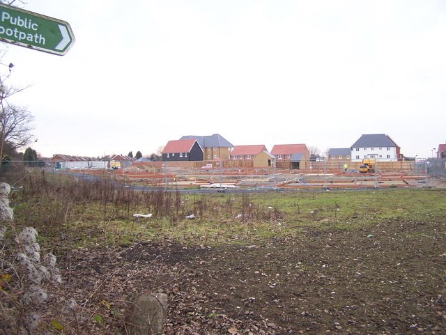
Image: © David Anstiss Taken: 13 Jan 2009
Path No.ZU69 on Highsted Road, leads to Fulston Manor School on Highsted Road, Sittingbourne. Sittingbourne further increases in size, with several fields now turned into building sites. Although will they still sell them in the current 'credit crunch of 2008/2009??
Images are licensed for reuse under creativecommons.org/licenses/by-sa/2.0
Image Location
Latitude
51.325694
Longitude
0.738251