High Road Turnford
Introduction
The photograph on this page of High Road Turnford by Talisman as part of the Geograph project.
The Geograph project started in 2005 with the aim of publishing, organising and preserving representative images for every square kilometre of Great Britain, Ireland and the Isle of Man.

There are currently over 7.5m images from over 14,400 individuals and you can help contribute to the project by visiting https://www.geograph.org.uk
High Road Turnford
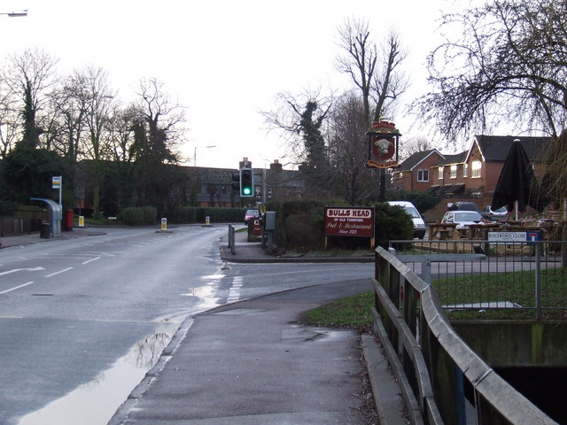
Image: © Talisman Taken: 18 Jan 2009
Looking south along High Road Turnford by the sign for the Bulls Head Pub (which is just off to the right). Turnford Brook is in the bottom right corner, where it goes under Rochford Close and the Bulls Head Car Park.
Images are licensed for reuse under creativecommons.org/licenses/by-sa/2.0
Image Location
Latitude
51.722186
Longitude
-0.026404