Bridleway to Noctorum Lane.
Introduction
The photograph on this page of Bridleway to Noctorum Lane. by David Quinn as part of the Geograph project.
The Geograph project started in 2005 with the aim of publishing, organising and preserving representative images for every square kilometre of Great Britain, Ireland and the Isle of Man.

There are currently over 7.5m images from over 14,400 individuals and you can help contribute to the project by visiting https://www.geograph.org.uk
Bridleway to Noctorum Lane.
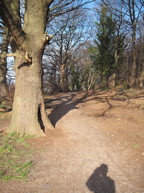
Image: © David Quinn Taken: 18 Jan 2009
The bridleway between Noctorum Lane and Noctorum Way. Although not obvious on the photograph, the path is surrounded on all sides by houses. Some of the larger houses on the Wirral are located less than 100 metres from suburban semi-detached houses along this path.
Images are licensed for reuse under creativecommons.org/licenses/by-sa/2.0
Image Location
Latitude
53.37979
Longitude
-3.063086