Mardle Way, Buckfastleigh
Introduction
The photograph on this page of Mardle Way, Buckfastleigh by Derek Harper as part of the Geograph project.
The Geograph project started in 2005 with the aim of publishing, organising and preserving representative images for every square kilometre of Great Britain, Ireland and the Isle of Man.

There are currently over 7.5m images from over 14,400 individuals and you can help contribute to the project by visiting https://www.geograph.org.uk
Mardle Way, Buckfastleigh
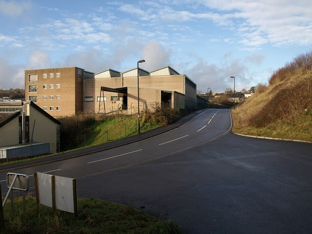
Image: © Derek Harper Taken: 16 Jan 2009
Mardle Way provides a route for traffic to avoid the narrow Market Street and Chapel Street, although it still leads into the town centre. Here, just north of the River Mardle, it passes a factory on its way up the hill towards Buckfast.
Images are licensed for reuse under creativecommons.org/licenses/by-sa/2.0
Image Location
Latitude
50.482792
Longitude
-3.780437