Aerial Ladder Platform
Introduction
The photograph on this page of Aerial Ladder Platform by Martin Addison as part of the Geograph project.
The Geograph project started in 2005 with the aim of publishing, organising and preserving representative images for every square kilometre of Great Britain, Ireland and the Isle of Man.

There are currently over 7.5m images from over 14,400 individuals and you can help contribute to the project by visiting https://www.geograph.org.uk
Aerial Ladder Platform
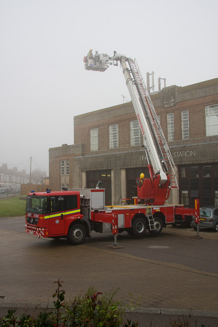
Image: © Martin Addison Taken: 14 Jan 2009
One of a batch of new aerial ladder platforms, ALP14, in use to train firemen at Finchley fire station. Being brand new the whole batch are allocated to training and are currently visiting stations around the capital.
Images are licensed for reuse under creativecommons.org/licenses/by-sa/2.0
Image Location
Latitude
51.598312
Longitude
-0.179202