Eathorpe Park
Introduction
The photograph on this page of Eathorpe Park by Andy F as part of the Geograph project.
The Geograph project started in 2005 with the aim of publishing, organising and preserving representative images for every square kilometre of Great Britain, Ireland and the Isle of Man.

There are currently over 7.5m images from over 14,400 individuals and you can help contribute to the project by visiting https://www.geograph.org.uk
Eathorpe Park
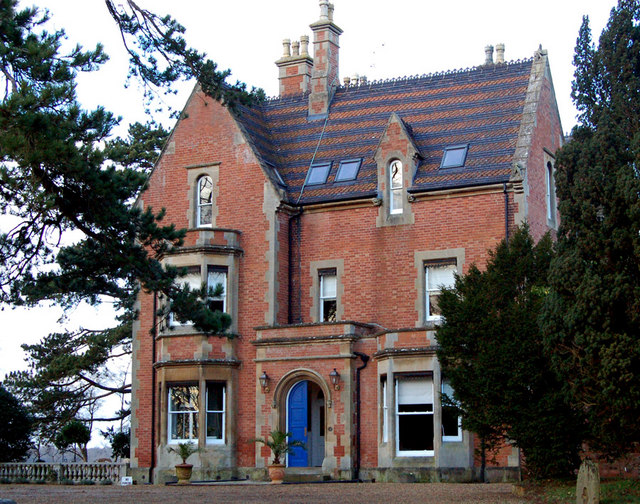
Image: © Andy F Taken: 17 Jan 2009
Marked as a hotel on the OS 1:50000 map, Eathorpe Park has now been converted into luxury apartments.
Images are licensed for reuse under creativecommons.org/licenses/by-sa/2.0
Image Location


Leaflet Map data © OpenStreetMap
Latitude
52.319019
Longitude
-1.41797