Burn at Scourie
Introduction
The photograph on this page of Burn at Scourie by AlastairG as part of the Geograph project.
The Geograph project started in 2005 with the aim of publishing, organising and preserving representative images for every square kilometre of Great Britain, Ireland and the Isle of Man.

There are currently over 7.5m images from over 14,400 individuals and you can help contribute to the project by visiting https://www.geograph.org.uk
Burn at Scourie
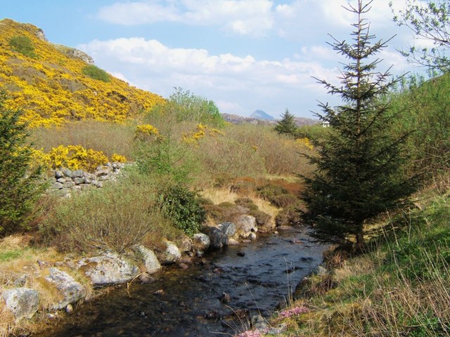
Image: © AlastairG Taken: 8 May 2008
This burn runs behind the hotel and into a lagoon behind the road to the pier. Ben Stack is the distant peak.
Images are licensed for reuse under creativecommons.org/licenses/by-sa/2.0
Image Location


Leaflet Map data © OpenStreetMap
Latitude
58.352414
Longitude
-5.149395