Chewton Common
Introduction
The photograph on this page of Chewton Common by Mike Faherty as part of the Geograph project.
The Geograph project started in 2005 with the aim of publishing, organising and preserving representative images for every square kilometre of Great Britain, Ireland and the Isle of Man.

There are currently over 7.5m images from over 14,400 individuals and you can help contribute to the project by visiting https://www.geograph.org.uk
Chewton Common
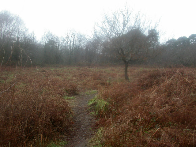
Image: © Mike Faherty Taken: 16 Jan 2009
Chewton Common comprises four parcels of land, separated by housing and roads. This view is in the largest section, to the north of Chewton Common Road. Bracken, light deciduous tree cover; as seen on a wet January day.
Images are licensed for reuse under creativecommons.org/licenses/by-sa/2.0
Image Location
Latitude
50.746477
Longitude
-1.699324