Rooftop view, Rhymney
Introduction
The photograph on this page of Rooftop view, Rhymney by Robin Drayton as part of the Geograph project.
The Geograph project started in 2005 with the aim of publishing, organising and preserving representative images for every square kilometre of Great Britain, Ireland and the Isle of Man.

There are currently over 7.5m images from over 14,400 individuals and you can help contribute to the project by visiting https://www.geograph.org.uk
Rooftop view, Rhymney
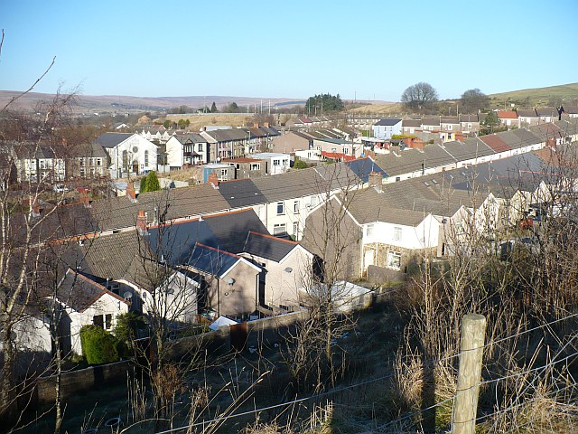
Image: © Robin Drayton Taken: 27 Dec 2008
This view over part of Rhymney is taken from an open space which was formerly Paddy's Pond. The street in the foreground is Lady Tyler Terrace http://www.geograph.org.uk/photo/940212 , with Image and Beulah Street beyond.
Images are licensed for reuse under creativecommons.org/licenses/by-sa/2.0
Image Location
Latitude
51.757579
Longitude
-3.280859