Ethel Street
Introduction
The photograph on this page of Ethel Street by Simon Carey as part of the Geograph project.
The Geograph project started in 2005 with the aim of publishing, organising and preserving representative images for every square kilometre of Great Britain, Ireland and the Isle of Man.

There are currently over 7.5m images from over 14,400 individuals and you can help contribute to the project by visiting https://www.geograph.org.uk
Ethel Street
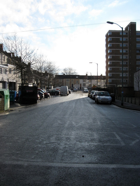
Image: © Simon Carey Taken: 14 Jan 2009
Linking Conway Street with Clarendon Road. Much of the former slum houses were cleared in the 1960s and replaced with high rise blocks, one of which, Livingstone House, can be seen on the right.
Images are licensed for reuse under creativecommons.org/licenses/by-sa/2.0
Image Location
Latitude
50.834078
Longitude
-0.17218