Cycleway, Oxbridge Lane
Introduction
The photograph on this page of Cycleway, Oxbridge Lane by Mick Garratt as part of the Geograph project.
The Geograph project started in 2005 with the aim of publishing, organising and preserving representative images for every square kilometre of Great Britain, Ireland and the Isle of Man.

There are currently over 7.5m images from over 14,400 individuals and you can help contribute to the project by visiting https://www.geograph.org.uk
Cycleway, Oxbridge Lane
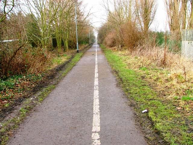
Image: © Mick Garratt Taken: 25 Jan 2006
A disused railway now used as a cycleway. Looking north from near its junction with Oxbridge Lane.
Images are licensed for reuse under creativecommons.org/licenses/by-sa/2.0
Image Location
Latitude
54.561755
Longitude
-1.344283