End of the B4342 near Tregaron
Introduction
The photograph on this page of End of the B4342 near Tregaron by Nigel Brown as part of the Geograph project.
The Geograph project started in 2005 with the aim of publishing, organising and preserving representative images for every square kilometre of Great Britain, Ireland and the Isle of Man.

There are currently over 7.5m images from over 14,400 individuals and you can help contribute to the project by visiting https://www.geograph.org.uk
End of the B4342 near Tregaron
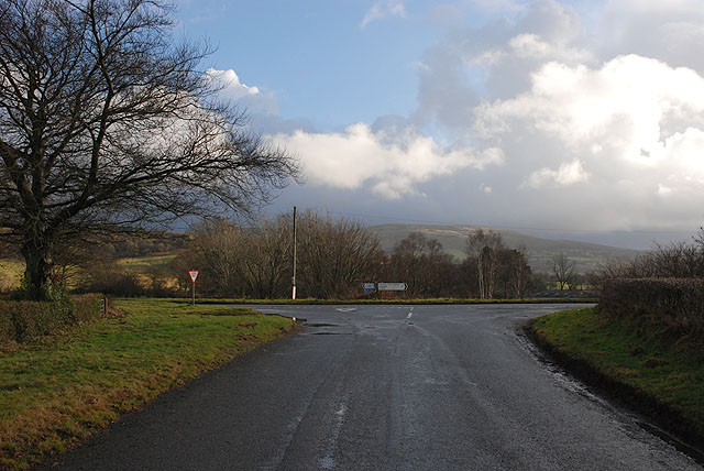
Image: © Nigel Brown Taken: 13 Jan 2009
Where the B4342 from Llangeitho meets the A485.
Images are licensed for reuse under creativecommons.org/licenses/by-sa/2.0
Image Location
Latitude
52.210373
Longitude
-3.950867