Eel Brook Common & New Kings Road London SW6
Introduction
The photograph on this page of Eel Brook Common & New Kings Road London SW6 by Paul Leonard as part of the Geograph project.
The Geograph project started in 2005 with the aim of publishing, organising and preserving representative images for every square kilometre of Great Britain, Ireland and the Isle of Man.

There are currently over 7.5m images from over 14,400 individuals and you can help contribute to the project by visiting https://www.geograph.org.uk
Eel Brook Common & New Kings Road London SW6
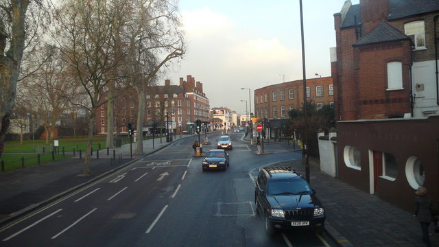
Image: © Paul Leonard Taken: 8 Jan 2009
Junction of the New Kings Road with Wandsworth Bridge Road - merging from the right of the frame at the red traffic lights. Eel Brook Common can be seen to the left of the frame.
Images are licensed for reuse under creativecommons.org/licenses/by-sa/2.0
Image Location
Latitude
51.476047
Longitude
-0.192859