St Mary's Hall
Introduction
The photograph on this page of St Mary's Hall by Simon Carey as part of the Geograph project.
The Geograph project started in 2005 with the aim of publishing, organising and preserving representative images for every square kilometre of Great Britain, Ireland and the Isle of Man.

There are currently over 7.5m images from over 14,400 individuals and you can help contribute to the project by visiting https://www.geograph.org.uk
St Mary's Hall
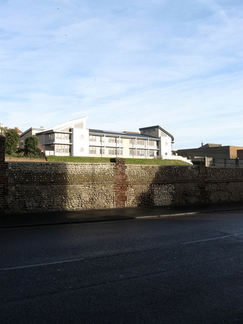
Image: © Simon Carey Taken: 11 Jan 2009
This is the junior school known as Gloucester House which was opened in 2006 viewed from Eastern Road. St Mary's is an independent day and boarding school for girls.
Images are licensed for reuse under creativecommons.org/licenses/by-sa/2.0
Image Location
Latitude
50.818769
Longitude
-0.114428