Arley Lane
Introduction
The photograph on this page of Arley Lane by P L Chadwick as part of the Geograph project.
The Geograph project started in 2005 with the aim of publishing, organising and preserving representative images for every square kilometre of Great Britain, Ireland and the Isle of Man.

There are currently over 7.5m images from over 14,400 individuals and you can help contribute to the project by visiting https://www.geograph.org.uk
Arley Lane
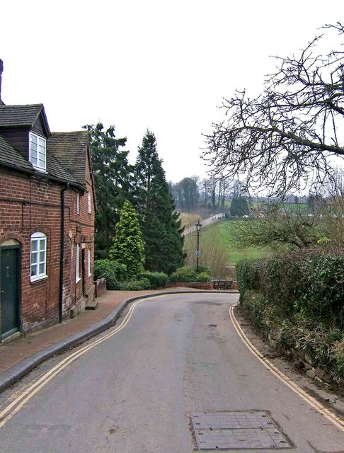
Image: © P L Chadwick Taken: 30 Dec 2008
The village street at Upper Arley is sometimes referred to as Arley Lane. It descends down to the river (as in this view), runs in sight of the river for a short distance, then climbs again up to a turning circle where the drive to the Parish Church and the entrance to the Arboretum are located.Image
Images are licensed for reuse under creativecommons.org/licenses/by-sa/2.0
Image Location
Latitude
52.419019
Longitude
-2.344907