Boggard Lane, Worrall, near Oughtibridge
Introduction
The photograph on this page of Boggard Lane, Worrall, near Oughtibridge by Terry Robinson as part of the Geograph project.
The Geograph project started in 2005 with the aim of publishing, organising and preserving representative images for every square kilometre of Great Britain, Ireland and the Isle of Man.

There are currently over 7.5m images from over 14,400 individuals and you can help contribute to the project by visiting https://www.geograph.org.uk
Boggard Lane, Worrall, near Oughtibridge
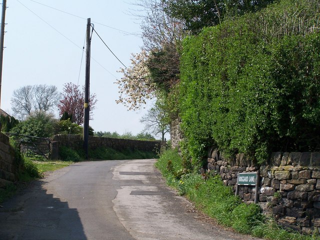
Image: © Terry Robinson Taken: 8 May 2008
Boggard Lane - reportedly named after some 'mischievous evil imps' - runs from Worrall through to Burton Lane above Oughtibridge, but soon turns into a track rather than a road ... so don't try it in your car! On the left of Boggard Lane is Quarry Farm ... on the right would have been the quarry! Image Image Image Image
Images are licensed for reuse under creativecommons.org/licenses/by-sa/2.0
Image Location
Latitude
53.428763
Longitude
-1.540035