Track to Upper Lidda
Introduction
The photograph on this page of Track to Upper Lidda by Ian Balcombe as part of the Geograph project.
The Geograph project started in 2005 with the aim of publishing, organising and preserving representative images for every square kilometre of Great Britain, Ireland and the Isle of Man.

There are currently over 7.5m images from over 14,400 individuals and you can help contribute to the project by visiting https://www.geograph.org.uk
Track to Upper Lidda
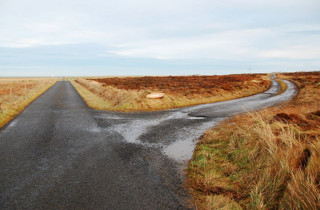
Image: © Ian Balcombe Taken: 11 Jan 2009
The name on the sign is to another house... but I've lost the original and can't read it here... oops!
Images are licensed for reuse under creativecommons.org/licenses/by-sa/2.0
Image Location
Latitude
58.974057
Longitude
-2.814483