Higher Green
Introduction
The photograph on this page of Higher Green by Hugh Craddock as part of the Geograph project.
The Geograph project started in 2005 with the aim of publishing, organising and preserving representative images for every square kilometre of Great Britain, Ireland and the Isle of Man.

There are currently over 7.5m images from over 14,400 individuals and you can help contribute to the project by visiting https://www.geograph.org.uk
Higher Green
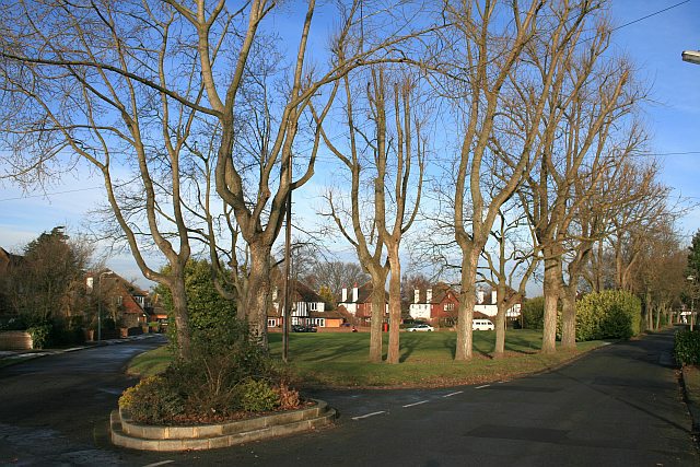
Image: © Hugh Craddock Taken: 11 Jan 2009
Open space in a residential road known as "Higher Green", laid out in the 1920s and 1930s across former fields by local builder Ernest Harwood. The houses are in a 'tudorbethan' style, with details associated with Surrey vernacular.
Images are licensed for reuse under creativecommons.org/licenses/by-sa/2.0
Image Location
Latitude
51.333072
Longitude
-0.246577