Rugby-Kingsway
Introduction
The photograph on this page of Rugby-Kingsway by Ian Rob as part of the Geograph project.
The Geograph project started in 2005 with the aim of publishing, organising and preserving representative images for every square kilometre of Great Britain, Ireland and the Isle of Man.

There are currently over 7.5m images from over 14,400 individuals and you can help contribute to the project by visiting https://www.geograph.org.uk
Rugby-Kingsway
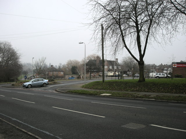
Image: © Ian Rob Taken: 10 Jan 2009
The junction of Kingsway and Dunchurch Road on a grey sub zero January day.
Images are licensed for reuse under creativecommons.org/licenses/by-sa/2.0
Image Location
Latitude
52.361792
Longitude
-1.268649