Albert Road North
Introduction
The photograph on this page of Albert Road North by Ian Capper as part of the Geograph project.
The Geograph project started in 2005 with the aim of publishing, organising and preserving representative images for every square kilometre of Great Britain, Ireland and the Isle of Man.

There are currently over 7.5m images from over 14,400 individuals and you can help contribute to the project by visiting https://www.geograph.org.uk
Albert Road North
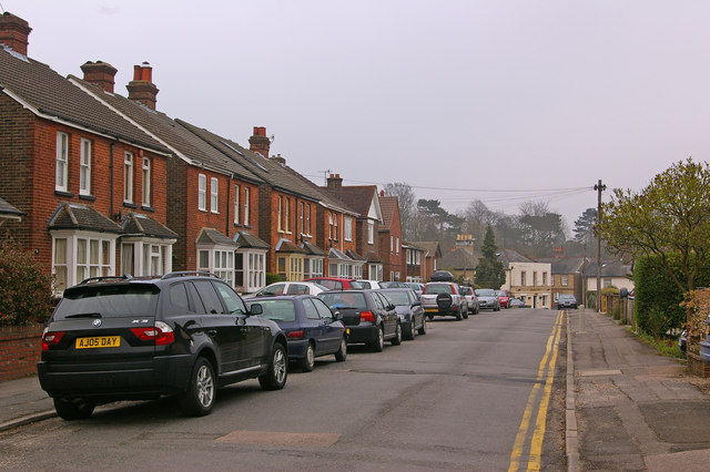
Image: © Ian Capper Taken: 20 Apr 2008
Late Victorian housing built as part of the early development of north west Reigate. The 1895 Godfrey Edition map shows only the south side built at that stage - the north side, shown here presumably followed very soon after. In the distance, where the road joins Nutley Lane, can be seen the Admiral Inn (see Image).
Images are licensed for reuse under creativecommons.org/licenses/by-sa/2.0
Image Location
Latitude
51.242696
Longitude
-0.213353