Bulkington Congregational Church
Introduction
The photograph on this page of Bulkington Congregational Church by Peter Mackenzie as part of the Geograph project.
The Geograph project started in 2005 with the aim of publishing, organising and preserving representative images for every square kilometre of Great Britain, Ireland and the Isle of Man.

There are currently over 7.5m images from over 14,400 individuals and you can help contribute to the project by visiting https://www.geograph.org.uk
Bulkington Congregational Church
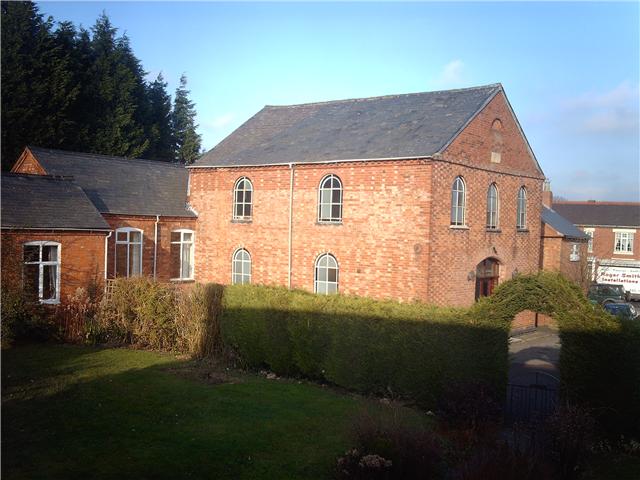
Image: © Peter Mackenzie Taken: 9 Jan 2009
Bulkington Congregational Church built 1811, restored 1883. Viewed from the manse.
Images are licensed for reuse under creativecommons.org/licenses/by-sa/2.0
Image Location


Leaflet Map data © OpenStreetMap
Latitude
52.476014
Longitude
-1.42341