Anderson's Hostel, Cricklade Street, Swindon
Introduction
The photograph on this page of Anderson's Hostel, Cricklade Street, Swindon by Brian Robert Marshall as part of the Geograph project.
The Geograph project started in 2005 with the aim of publishing, organising and preserving representative images for every square kilometre of Great Britain, Ireland and the Isle of Man.

There are currently over 7.5m images from over 14,400 individuals and you can help contribute to the project by visiting https://www.geograph.org.uk
Anderson's Hostel, Cricklade Street, Swindon
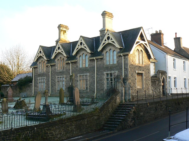
Image: © Brian Robert Marshall Taken: 9 Jan 2009
The building dates to 1877 and was built as a hostel for the 'second poor'. There is more information here http://www.geograph.org.uk/photo/1113380 In front of the dwellings is the churchyard of Christ Church.
Images are licensed for reuse under creativecommons.org/licenses/by-sa/2.0
Image Location
Latitude
51.553502
Longitude
-1.775096