Kirkby-on-Ashfield - Snooker Hall on Chapel Street
Introduction
The photograph on this page of Kirkby-on-Ashfield - Snooker Hall on Chapel Street by Dave Bevis as part of the Geograph project.
The Geograph project started in 2005 with the aim of publishing, organising and preserving representative images for every square kilometre of Great Britain, Ireland and the Isle of Man.

There are currently over 7.5m images from over 14,400 individuals and you can help contribute to the project by visiting https://www.geograph.org.uk
Kirkby-on-Ashfield - Snooker Hall on Chapel Street
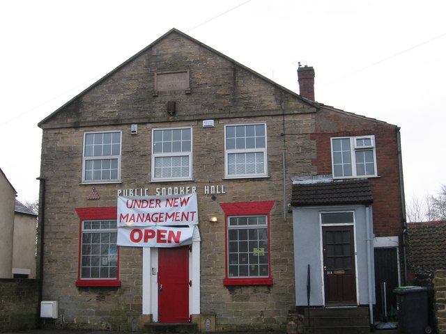
Image: © Dave Bevis Taken: 8 Jan 2009
This might be the converted chapel from which Chapel Street gets its name.
Images are licensed for reuse under creativecommons.org/licenses/by-sa/2.0
Image Location
Latitude
53.100471
Longitude
-1.26694