Bridge and Toll House at Brent Mill
Introduction
The photograph on this page of Bridge and Toll House at Brent Mill by Adrian Platt as part of the Geograph project.
The Geograph project started in 2005 with the aim of publishing, organising and preserving representative images for every square kilometre of Great Britain, Ireland and the Isle of Man.

There are currently over 7.5m images from over 14,400 individuals and you can help contribute to the project by visiting https://www.geograph.org.uk
Bridge and Toll House at Brent Mill
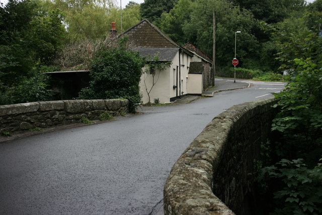
Image: © Adrian Platt Taken: 11 Aug 2008
The old bridge over the River Avon at Brent Mill, on a typical damp summer Devon day, showing the Toll house Image and the "old" A38 in the background. The privy Image is in the shadow on the left of the bridge. Update - the bridge is grade II listed and may date back to the C17th and C18th, see http://www.britishlistedbuildings.co.uk/en-99356.
Images are licensed for reuse under creativecommons.org/licenses/by-sa/2.0
Image Location
Latitude
50.421415
Longitude
-3.835008