Great Manson Farm
Introduction
The photograph on this page of Great Manson Farm by Philip Halling as part of the Geograph project.
The Geograph project started in 2005 with the aim of publishing, organising and preserving representative images for every square kilometre of Great Britain, Ireland and the Isle of Man.

There are currently over 7.5m images from over 14,400 individuals and you can help contribute to the project by visiting https://www.geograph.org.uk
Great Manson Farm
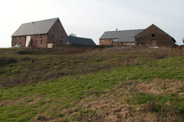
Image: © Philip Halling Taken: 22 Jan 2006
These farm buildings overlooking the town of Monmouth have now been converted into residential housing.
Images are licensed for reuse under creativecommons.org/licenses/by-sa/2.0
Image Location
Latitude
51.835849
Longitude
-2.728514