The Boat Pub and Bridge
Introduction
The photograph on this page of The Boat Pub and Bridge by Pam Brophy as part of the Geograph project.
The Geograph project started in 2005 with the aim of publishing, organising and preserving representative images for every square kilometre of Great Britain, Ireland and the Isle of Man.

There are currently over 7.5m images from over 14,400 individuals and you can help contribute to the project by visiting https://www.geograph.org.uk
The Boat Pub and Bridge
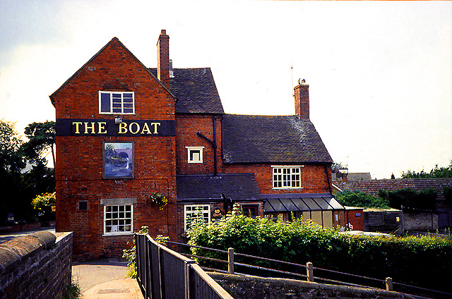
Image: © Pam Brophy Taken: Unknown
This pub has been around for a long while on this canal and now serves narrow boat holidayers as well as locals. It is situated at the bridge, in the southern section of the grid square.
Images are licensed for reuse under creativecommons.org/licenses/by-sa/2.0
Image Location


Leaflet Map data © OpenStreetMap
Latitude
52.728089
Longitude
-2.112495