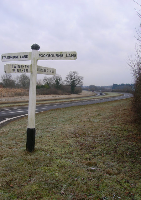
A2300, Burgess Hill Link Road
Introduction
The photograph on this page of A2300, Burgess Hill Link Road by Simon Carey as part of the Geograph project.
The Geograph project started in 2005 with the aim of publishing, organising and preserving representative images for every square kilometre of Great Britain, Ireland and the Isle of Man.
There are currently over 7.5m images from over 14,400 individuals and you can help contribute to the project by visiting https://www.geograph.org.uk

Image: © Simon Carey Taken: 4 Jan 2009
Opened in 1997 to provide easier access for the expanding town of Burgess Hill with the A23. Previously, travellers either used the A272 and B2036 via Ansty or those with a little more local knowledge used the Job's Lane turning at Hickstead and a series of country lanes via Goddard's Green into the western edge of town. The former was problematic as it also carried all of Haywards Heath's traffic whilst the latter turned narrow country lanes into rat runs. Taken from the crossroads with two minor routes, Stairbridge Lane and Pookbourne Lane, the old style finger post has been moved from Job's Corner.

