Housing to the North West of B.J.
Introduction
The photograph on this page of Housing to the North West of B.J. by johnfromnotts as part of the Geograph project.
The Geograph project started in 2005 with the aim of publishing, organising and preserving representative images for every square kilometre of Great Britain, Ireland and the Isle of Man.

There are currently over 7.5m images from over 14,400 individuals and you can help contribute to the project by visiting https://www.geograph.org.uk
Housing to the North West of B.J.
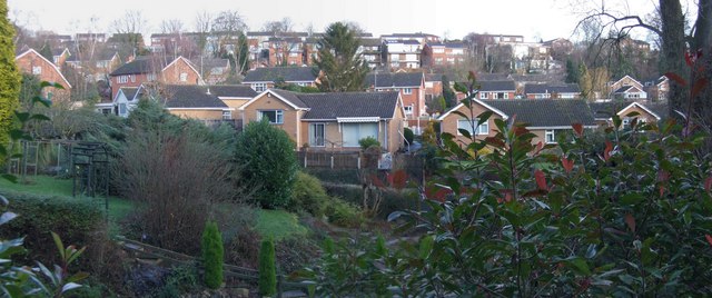
Image: © johnfromnotts Taken: 5 Jan 2009
This view was taken from Lambley Lane. Burton Joyce grew rapidly in the late 1960s when this housing development was made. It shows the typical buildings in the Padleys Lane and Foxhill area. There are more views of Burton Joyce in the Interactive Virtual Tour at: http://www.bjtour.org.uk
Images are licensed for reuse under creativecommons.org/licenses/by-sa/2.0
Image Location
Latitude
52.991812
Longitude
-1.042331