Nottingham Canal, Trowell
Introduction
The photograph on this page of Nottingham Canal, Trowell by Stephen McKay as part of the Geograph project.
The Geograph project started in 2005 with the aim of publishing, organising and preserving representative images for every square kilometre of Great Britain, Ireland and the Isle of Man.

There are currently over 7.5m images from over 14,400 individuals and you can help contribute to the project by visiting https://www.geograph.org.uk
Nottingham Canal, Trowell
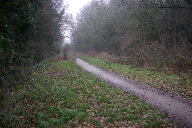
Image: © Stephen McKay Taken: 1 Jan 2009
In common with many similar canals, the Nottingham Canal closed to commercial traffic before the Second World War. Much of the route, however, can still be easily traced and some stretches still have water - although not here. The canal connected the River Trent at Nottingham with Langley Mill, effectively duplicating the parallel Erewash Canal, which still remains as a leisure waterway. Proposals to restore the canal came to nothing; in Nottingham itself the route has been completely obliterated by modern development and further north it has been badly affected by mining subsidence.
Images are licensed for reuse under creativecommons.org/licenses/by-sa/2.0
Image Location
Latitude
52.959368
Longitude
-1.286597