Blocked up railway arches
Introduction
The photograph on this page of Blocked up railway arches by Thomas Nugent as part of the Geograph project.
The Geograph project started in 2005 with the aim of publishing, organising and preserving representative images for every square kilometre of Great Britain, Ireland and the Isle of Man.

There are currently over 7.5m images from over 14,400 individuals and you can help contribute to the project by visiting https://www.geograph.org.uk
Blocked up railway arches
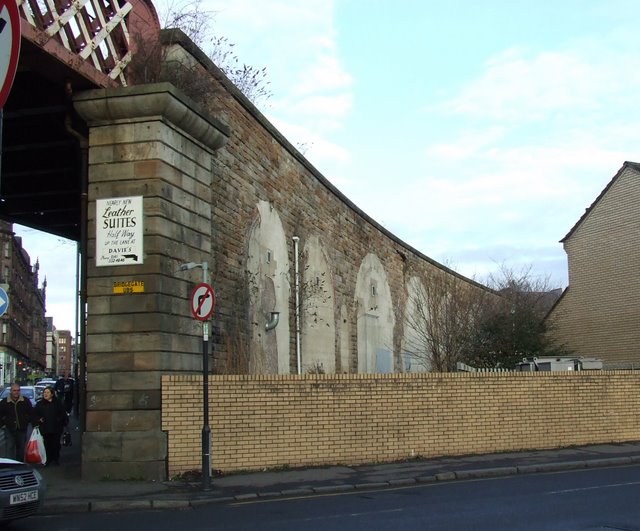
Image: © Thomas Nugent Taken: 3 Jan 2009
On the former City of Glasgow Union line which is still in use. Viewed from St Margaret's Place.
Images are licensed for reuse under creativecommons.org/licenses/by-sa/2.0
Image Location
Latitude
55.855409
Longitude
-4.24611