West Howe: Turbary Retail Park
Introduction
The photograph on this page of West Howe: Turbary Retail Park by Chris Downer as part of the Geograph project.
The Geograph project started in 2005 with the aim of publishing, organising and preserving representative images for every square kilometre of Great Britain, Ireland and the Isle of Man.

There are currently over 7.5m images from over 14,400 individuals and you can help contribute to the project by visiting https://www.geograph.org.uk
West Howe: Turbary Retail Park
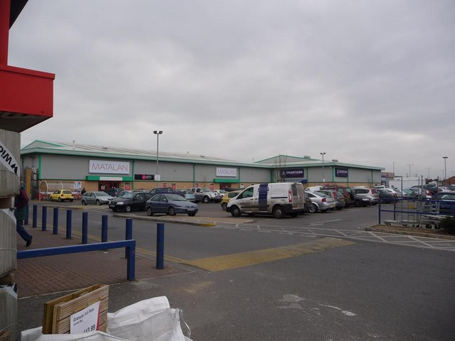
Image: © Chris Downer Taken: 4 Jan 2009
One of two adjoining retail parks which merge more or less as one – Image is immediately to the northeast. The building on the left is occupied by Wickes DIY store and there are a few more units to the right of the Matalan and Brantano stores centre of picture.
Images are licensed for reuse under creativecommons.org/licenses/by-sa/2.0
Image Location
Latitude
50.756194
Longitude
-1.92708