A417 services
Introduction
The photograph on this page of A417 services by Graham Horn as part of the Geograph project.
The Geograph project started in 2005 with the aim of publishing, organising and preserving representative images for every square kilometre of Great Britain, Ireland and the Isle of Man.

There are currently over 7.5m images from over 14,400 individuals and you can help contribute to the project by visiting https://www.geograph.org.uk
A417 services
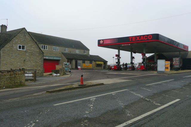
Image: © Graham Horn Taken: 30 Dec 2008
A filling station and a roadside restaurant bypassed by the A417 dual carriageway. They are signposted off the newer road but access is quite convoluted, particularly north-west-bound.
Images are licensed for reuse under creativecommons.org/licenses/by-sa/2.0
Image Location
Latitude
51.782897
Longitude
-2.036483