The Land Oak public house, Chester Road
Introduction
The photograph on this page of The Land Oak public house, Chester Road by Peter Whatley as part of the Geograph project.
The Geograph project started in 2005 with the aim of publishing, organising and preserving representative images for every square kilometre of Great Britain, Ireland and the Isle of Man.

There are currently over 7.5m images from over 14,400 individuals and you can help contribute to the project by visiting https://www.geograph.org.uk
The Land Oak public house, Chester Road
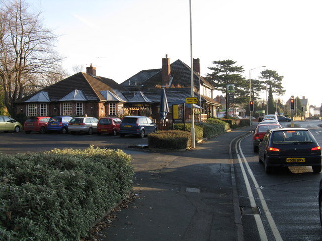
Image: © Peter Whatley Taken: 3 Jan 2009
Situated at the junction with Birmingham Road, the pub was so busy at 2pm on a Saturday that we had to try elsewhere for food.
Images are licensed for reuse under creativecommons.org/licenses/by-sa/2.0
Image Location
Latitude
52.392052
Longitude
-2.233457