Moorfield Farm, Mound
Introduction
The photograph on this page of Moorfield Farm, Mound by Martin Jones as part of the Geograph project.
The Geograph project started in 2005 with the aim of publishing, organising and preserving representative images for every square kilometre of Great Britain, Ireland and the Isle of Man.

There are currently over 7.5m images from over 14,400 individuals and you can help contribute to the project by visiting https://www.geograph.org.uk
Moorfield Farm, Mound
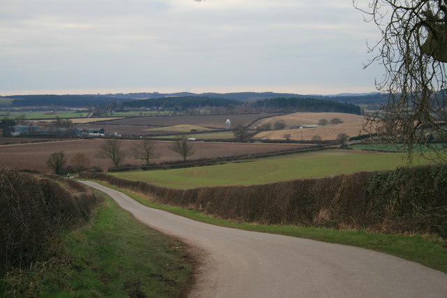
Image: © Martin Jones Taken: 3 Jan 2009
Grassy hill in the middle-distance is listed on some maps. Typical of a burial mound, it may be related to the Saxon site of Robin Hood Hill.
Images are licensed for reuse under creativecommons.org/licenses/by-sa/2.0
Image Location
Latitude
53.073597
Longitude
-1.073953