Menith Wood
Introduction
The photograph on this page of Menith Wood by Richard Greenwood as part of the Geograph project.
The Geograph project started in 2005 with the aim of publishing, organising and preserving representative images for every square kilometre of Great Britain, Ireland and the Isle of Man.

There are currently over 7.5m images from over 14,400 individuals and you can help contribute to the project by visiting https://www.geograph.org.uk
Menith Wood
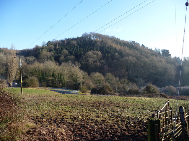
Image: © Richard Greenwood Taken: 3 Jan 2009
Menith Wood is on the steep south facing slope of the Teme Valley. (View from near Dumbleton Farm). The Bridle way ascends steeply from the bridge see Image]to the hamlet of the same name.
Images are licensed for reuse under creativecommons.org/licenses/by-sa/2.0
Image Location
Latitude
52.320276
Longitude
-2.435686