Housing estate, Southam
Introduction
The photograph on this page of Housing estate, Southam by Andy F as part of the Geograph project.
The Geograph project started in 2005 with the aim of publishing, organising and preserving representative images for every square kilometre of Great Britain, Ireland and the Isle of Man.

There are currently over 7.5m images from over 14,400 individuals and you can help contribute to the project by visiting https://www.geograph.org.uk
Housing estate, Southam
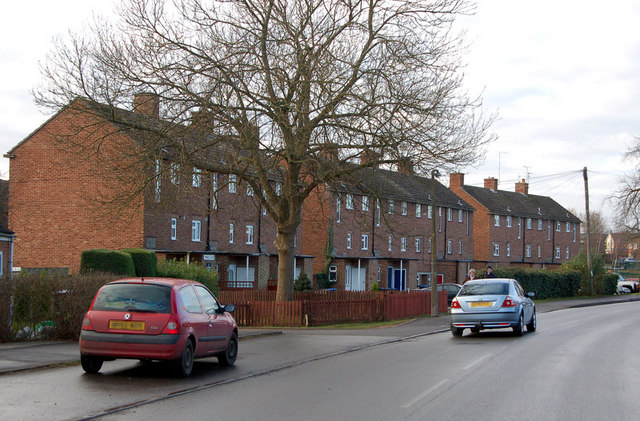
Image: © Andy F Taken: 2 Jan 2009
These three-storey blocks of local authority-built maisonettes are on the south side of Welsh Road West, Southam, east Warwickshire.
Images are licensed for reuse under creativecommons.org/licenses/by-sa/2.0
Image Location
Latitude
52.255856
Longitude
-1.390229