Osney Ditch
Introduction
The photograph on this page of Osney Ditch by Bill Nicholls as part of the Geograph project.
The Geograph project started in 2005 with the aim of publishing, organising and preserving representative images for every square kilometre of Great Britain, Ireland and the Isle of Man.

There are currently over 7.5m images from over 14,400 individuals and you can help contribute to the project by visiting https://www.geograph.org.uk
Osney Ditch
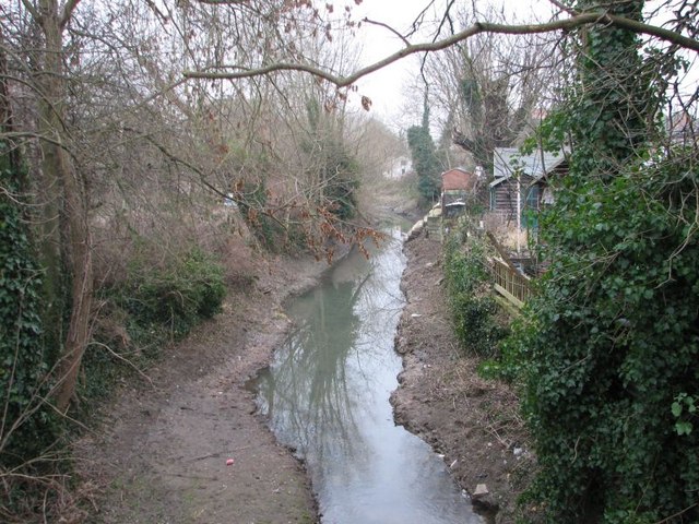
Image: © Bill Nicholls Taken: 30 Dec 2008
Flows off Bulstake Stream and links back up with the Thames. It's what makes Osney an Island and causes the bad floods it has.
Images are licensed for reuse under creativecommons.org/licenses/by-sa/2.0
Image Location
Latitude
51.751989
Longitude
-1.275349