Greenfield Court
Introduction
The photograph on this page of Greenfield Court by David Stowell as part of the Geograph project.
The Geograph project started in 2005 with the aim of publishing, organising and preserving representative images for every square kilometre of Great Britain, Ireland and the Isle of Man.

There are currently over 7.5m images from over 14,400 individuals and you can help contribute to the project by visiting https://www.geograph.org.uk
Greenfield Court
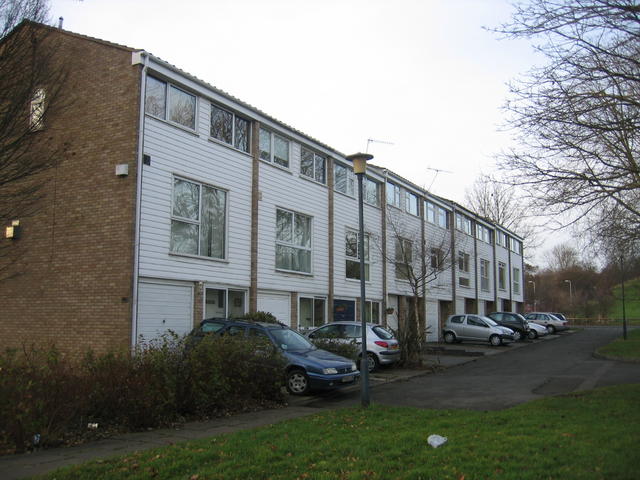
Image: © David Stowell Taken: 22 Jan 2006
Part of the 1970s development which expanded the town eastwards towards Newbold Comyn.
Images are licensed for reuse under creativecommons.org/licenses/by-sa/2.0
Image Location
Latitude
52.292071
Longitude
-1.523448