Footpath on Grange Lane
Introduction
The photograph on this page of Footpath on Grange Lane by David Anstiss as part of the Geograph project.
The Geograph project started in 2005 with the aim of publishing, organising and preserving representative images for every square kilometre of Great Britain, Ireland and the Isle of Man.

There are currently over 7.5m images from over 14,400 individuals and you can help contribute to the project by visiting https://www.geograph.org.uk
Footpath on Grange Lane
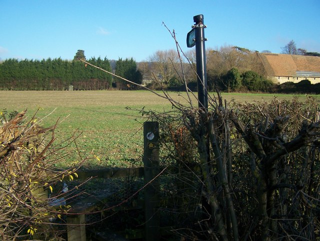
Image: © David Anstiss Taken: 26 Dec 2008
Leads across field to gap in conifer hedge, goes to Boarley Oast and onto Pilgrims Way. Part of Kent County Council Centenary Walk, a long distance path.
Images are licensed for reuse under creativecommons.org/licenses/by-sa/2.0
Image Location
Latitude
51.299708
Longitude
0.521791