Duck Brook
Introduction
The photograph on this page of Duck Brook by Andrew Darge as part of the Geograph project.
The Geograph project started in 2005 with the aim of publishing, organising and preserving representative images for every square kilometre of Great Britain, Ireland and the Isle of Man.

There are currently over 7.5m images from over 14,400 individuals and you can help contribute to the project by visiting https://www.geograph.org.uk
Duck Brook
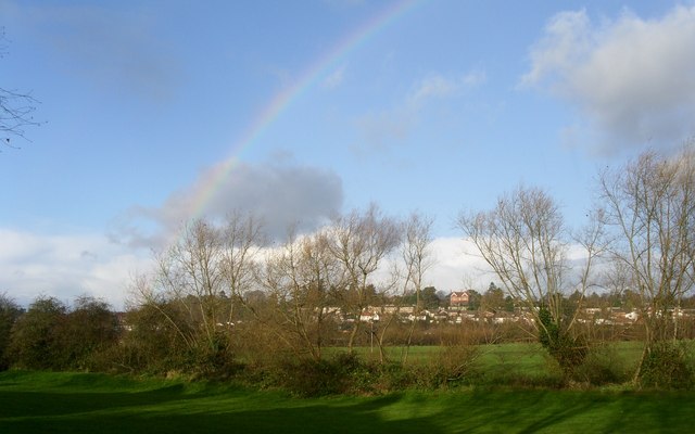
Image: © Andrew Darge Taken: 23 Nov 2008
This line of willows marks the course of the brook along its flood plain . On the ridge is the main building of St Marys convent school with modern housing along Ballenhall Road beneath it.
Images are licensed for reuse under creativecommons.org/licenses/by-sa/2.0
Image Location
Latitude
52.175973
Longitude
-2.208047