Works near Upper Skelmorlie
Introduction
The photograph on this page of Works near Upper Skelmorlie by Thomas Nugent as part of the Geograph project.
The Geograph project started in 2005 with the aim of publishing, organising and preserving representative images for every square kilometre of Great Britain, Ireland and the Isle of Man.

There are currently over 7.5m images from over 14,400 individuals and you can help contribute to the project by visiting https://www.geograph.org.uk
Works near Upper Skelmorlie
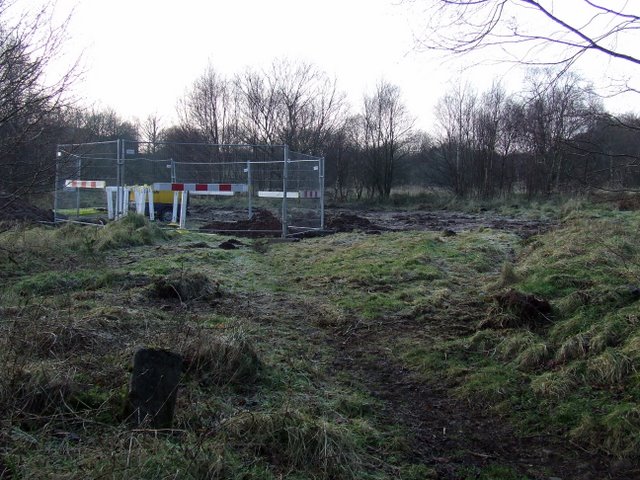
Image: © Thomas Nugent Taken: 1 Jan 2009
Yellow pipes suggest that gas works are in progress.
Images are licensed for reuse under creativecommons.org/licenses/by-sa/2.0
Image Location
Latitude
55.87344
Longitude
-4.877847