Kirk Lane at Green Bottom, Embsay
Introduction
The photograph on this page of Kirk Lane at Green Bottom, Embsay by John Winterbottom as part of the Geograph project.
The Geograph project started in 2005 with the aim of publishing, organising and preserving representative images for every square kilometre of Great Britain, Ireland and the Isle of Man.

There are currently over 7.5m images from over 14,400 individuals and you can help contribute to the project by visiting https://www.geograph.org.uk
Kirk Lane at Green Bottom, Embsay
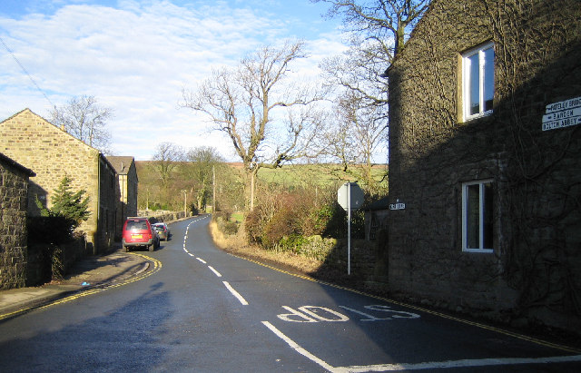
Image: © John Winterbottom Taken: 21 Jan 2006
At the junction with Main Street, Embsay looking north towards Embsay Kirk. Take this road to go over Halton Moor to Barden Bridge.
Images are licensed for reuse under creativecommons.org/licenses/by-sa/2.0
Image Location


Leaflet Map data © OpenStreetMap
Latitude
53.981156
Longitude
-1.984716