Lytham Windmill
Introduction
The photograph on this page of Lytham Windmill by Ruth Harris as part of the Geograph project.
The Geograph project started in 2005 with the aim of publishing, organising and preserving representative images for every square kilometre of Great Britain, Ireland and the Isle of Man.

There are currently over 7.5m images from over 14,400 individuals and you can help contribute to the project by visiting https://www.geograph.org.uk
Lytham Windmill
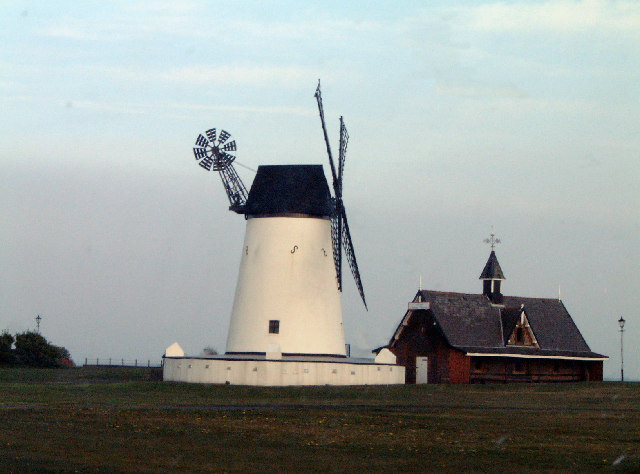
Image: © Ruth Harris Taken: 27 Apr 2003
The windmill by the sea! Built in 1805 to produce flour and oatmeal.
Images are licensed for reuse under creativecommons.org/licenses/by-sa/2.0
Image Location


Leaflet Map data © OpenStreetMap
Latitude
53.740118
Longitude
-2.949049