Level crossing at Broughty Ferry
Introduction
The photograph on this page of Level crossing at Broughty Ferry by Paul McIlroy as part of the Geograph project.
The Geograph project started in 2005 with the aim of publishing, organising and preserving representative images for every square kilometre of Great Britain, Ireland and the Isle of Man.

There are currently over 7.5m images from over 14,400 individuals and you can help contribute to the project by visiting https://www.geograph.org.uk
Level crossing at Broughty Ferry
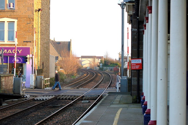
Image: © Paul McIlroy Taken: 30 Dec 2008
Where the main east coast railway line crosses Gray Street Broughty Ferry
Images are licensed for reuse under creativecommons.org/licenses/by-sa/2.0
Image Location
Latitude
56.467428
Longitude
-2.873158